It seems we can’t find what you’re looking for. Perhaps searching, or one of the links below, can help.
Recent Posts
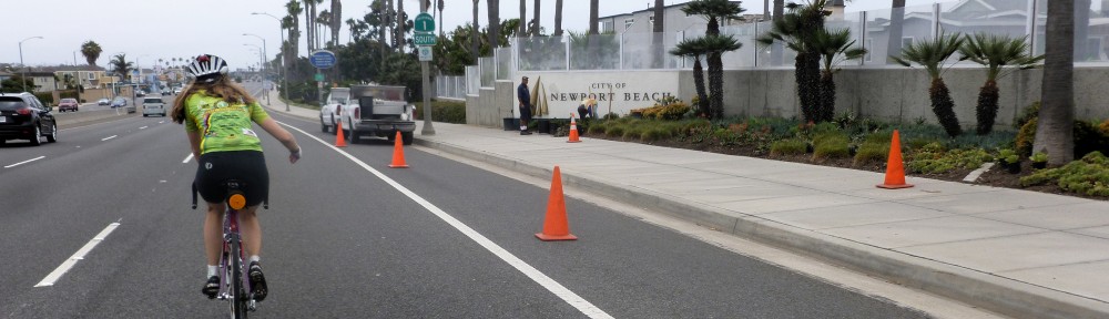
- Your Orange County Bicycle Organization
- Camp Pendleton Holiday Gate Closures
- City of Fullerton Survey
- Camp Pendleton Closure
- Buena Park Complete Streets Survey
- OC Loops Workshop
- Rumble Strips Can be Deadly!
- Traffic Signal Detectors Throwing You for a Loop?
- The Bicycle Tree Needs Help!
- Las Pulgas Bike Path Closed Feb 10-14
Most Used Categories
- Uncategorized (37)
- Safety (12)
- Traffic Alert (9)
- Planning (7)
- News (16)
- County News (11)
- Education (4)
- Event (4)
- Orange (6)
- Tustin (5)
Archives
Try looking in the monthly archives. 🙂
Tags
- Active Transportation
- Bicycle Advocacy
- bike
- Bike Donations
- Bike Lane Closed
- Bike law
- Bike Maintenance
- Bike Path Closure
- Bike Repairs
- bike safety
- Buena Park
- California law
- CalTrans
- Camp Pendleton
- cars kill
- class
- collision
- Community Workshop
- complete streets
- Construction
- cycling savv
- distracted driving
- Donations
- e-Bikes
- Education
- fatality
- Fitness
- Fun
- Health
- Laguna Beach
- ocbc
- OC Bike
- OC Loop
- OCTA
- Ramon
- ride a bike
- San Clemente
- SB-127
- Seal Beach
- stop driving
- Success
- The Bicycle Tree
- traffic
- training
- Zavala