In Dana Point on the SouthWest side (oceanside) of the Pacific Coast Highway (PCH), there is about a 1.5 mile of protected bike path from the intersection of PCH and Palisades / Beach, to PCH and Camino Capistrano.
While there is a ridable but narrow shoulder on PCH, and some may prefer the protection afforded by the K-rails that separate this stretch of bike path, especially at night!
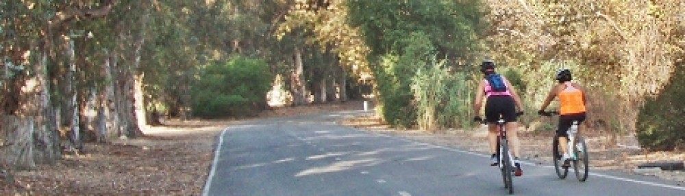
During the day this stretch can be filled with all sorts of people on bikes, trikes, skates (sorry – ‘blades), walkers, runners, you name it! The wind is usually at your back along here and the gentle grade makes for short but very pleasant cycling. Watch for traffic behind you as there are many fast riders in this area; especially before passing someone or avoiding an obstacle. A bell is handy here, or use your voice (ie:”passing”) to let them know where you are.
If you feel the need for speed and the path looks busy, stay on the road and give it your best shot. 3 minutes should about do it, and you don’t have to worry about riders coming at you or slowing down for strollers. Go TT and see how many wheelsuckers you can collect!
Heading south towards San Clemente, enter the protected path from PCH or the Doheny State Beach campground by the railroad tracks on the southwest corner at the intersection of PCH and Palisades / Beach.
Coming north, there is a marked dedicated pedestrian signal on the northeast corner at the intersection of Camino Capistrano and PCH. Use this to cross PCH and enter the path to the right. If you’re continuing north through Dana Point, go left across the railroad tracks at Beach and go right onto the sidewalk / pathway that parallels the tracks. This will take you into the Doheny State Beach’s parking area, and following the roadway, will take you out onto Harbor Dr. See our Alt Route page for map and details.